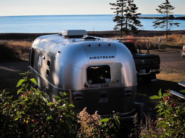
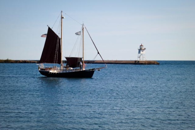
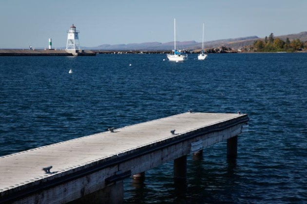
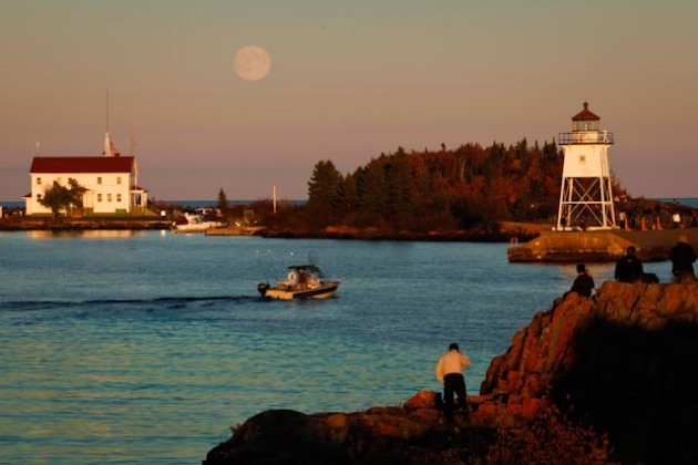
Thursday we packed up and moved down to Grand Marais. We’re staying in a municipal campground right on the harbor. Grand Marais is an actual town with lodges, motels, restaurants, gas stations and even a stoplight. The natural harbor is one of the few along the coast. There is a spit of land that goes out into the lake and forms two harbors. One to the north is natural and the one to the south is improved with a lighthouse. We found a great location on the ridge above town where we could look down and see those harbors.
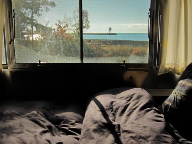
With our campground located right on the shore of the south bay, we have a view of the light house right out our bedroom window. In the evening we can see the boats pulling into the harbor while enjoying our campfire. We were fortunate to be given one of the prime sites.
Before the turn of the 20th century, Grand Marais made its money alternately from lumber, fur, and fishing. The French established a fur trade into the interior sometime after the mid-1600s. The name Le Grand Marais to designate this landing site is thought to have been in use as early as 1775. The harborage was good, permitting regular trade visits by the French and other Europeans. The effort over the next centuries by the North West Company, the Hudson’s Bay Company, the American Fur Company, and others to control trade in this region faded by the early 1800s, and the arrival of French-Canadian and Scandinavian immigrants into the area for fishing and logging opportunities established the village of Grand Marais as a critical supply center. The village incorporated in 1903 and has been responding to the needs of tourists traveling the shore road and interior trails ever since. It is a very attractive little town, with a nicely landscaped park on the harbor. It is easy to see why visitors are tempted to stop here awhile and soak up the ambiance.
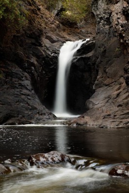
One afternoon we drove south to Cascades State Park, 10 mile down the road, to hike up the river and take in all of the waterfalls and cascades. In a region known for its waterfalls, this park is probably the most noteworthy. A whole series of waterfalls comes cascading down to the Lake. This is the last one to make its plunge before the river empties into the Lake.
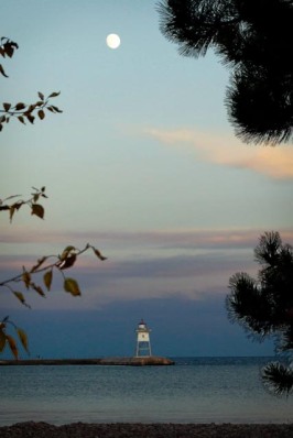
During our stay we hiked around the harbor at sunset. We caught the full moon just rising above the lighthouse.
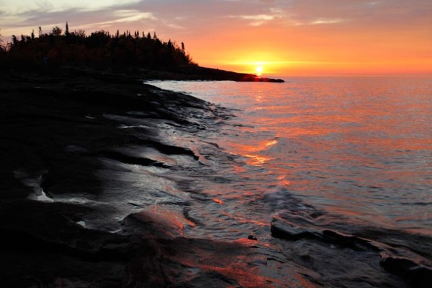
The next morning Melinda got up in the dark in search of a great sunrise photo op. Now she has an app for her phone showing where the moon and sun will rise and at exactly what time.
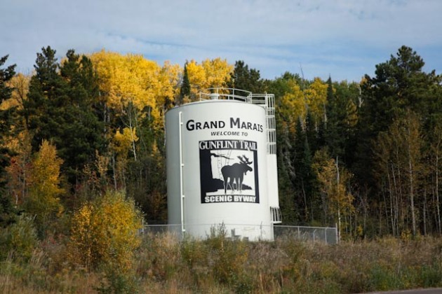
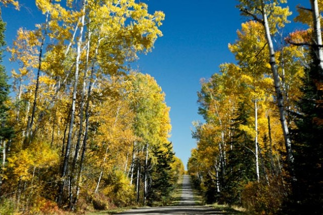
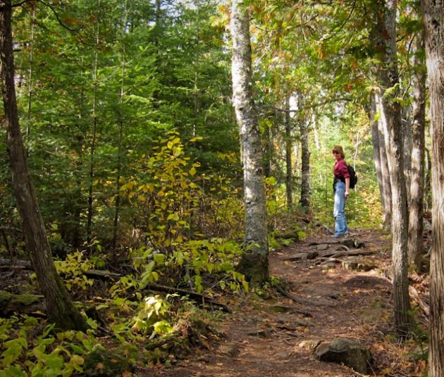
 We spent a day exploring the Gunflint Trail. Beginning (or ending) at Grand Marais, the 55-mile-long paved Gunflint Trail is a remote wilderness road that winds through a thick, undeveloped boreal forest of pine, aspen, birch and rare maple stands. Created by the force of ancient glaciers, the Gunflint’s wilderness lakes are peaceful, pristine, and offer ample opportunities for wildlife viewing. Moose, deer, loons and other species live in these woods. The northern section of the drive borders the eastern part of the famous Boundary Waters Canoe Area Wilderness (BWCAW), known for its excellent fishing, canoeing, and unforgettable scenery.
It is one of the oldest and best-known routes leading from Superior to the interior. Through the decades travelers have been drawn to its primitive wilderness as well as the comforts of its historic resorts. The Gunflint’s origins as a footpath made by the voyeurs, and later as a rough road used by the lumber-hauling trucks are hard to imagine now that it’s been many times widened and modernized over the years.
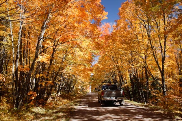
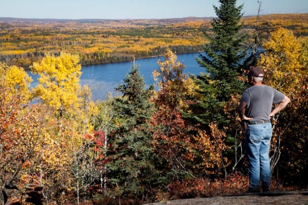
The foliage is pretty spectacular right now. The locals are telling us that this is the peak time. They are also saying that this is a good year for the color. We were told that last year wasn’t as vivid, and that the weather was decidedly colder. Maybe timing was on our side for a change?
We had lunch at the Gunflint Lodge on Gunflint Lake. Across the lake was Canada. It was a beautiful warm sunny day. Along the Gunflint Trail are innumerable lodges and outfitters.
We hiked several trails to overlooks with views out to the lakes. This is truly the land of 10,000 lakes.
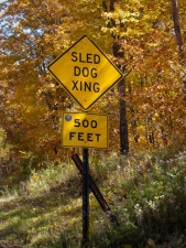
We’ve never seen so many canoes on the tops of pickup trucks. There must be a lot of dog sledding since there are tons of signs for that too.
We enjoyed our stay in Grand Marais. There is a fish market next to the campground. We picked up shrimp and chowder for dinner one night and enjoyed that around a campfire. We were able to walk into town for dinner at the Angry Trout one evening. Whether being on the shore looking out over the water, or standing on the thin strip of land separating the harbors looking toward town, everything seems photogenic.
Last night Melinda was determined to get the full moon just as it rose above the lighthouse. Unfortunately, a potload of other photographers had that same thought. She had quite a time just finding her own spot before the moon made its appearance.
Now we resume our trek down the coast to Temperance State Park. We’ll see what awaits us there.
From the shores of Lake Superior, in the early morning light,
Chris and Melinda


